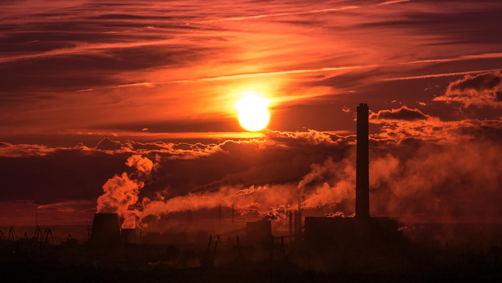
Ever thought about all the heat being thrown up in our atmosphere from factories and powerstations? Rather than wasting all that energy, the UK has hundreds of sites which collect and use waste heat in productive ways.
As part of the ongoing thought leadership around decarbonised heat at Durham Univeristy, some students have been mapping those sites. Here’s some background to this amazing work by Max Albert, Kitty Bennett, Dr Charlotte Adams and Prof Jon Gluyas.
About the Work
A major byproduct of industrial work and energy generation is wasted heat. The following map, developed by members of the Durham Energy Institute aims to quantify and spatially represent the distribution of this waste heat in the UK.
Using the natural gas consumption of different industries as a proxy for waste heat, the total waste heat from UK industry and power generation is estimated at nearly 391 TWh (35% more than our total annual electricity demand!). The information is represented as point location data and by waste heat per Local Authority.
Carbon dioxide has, on occasion, also been used as a proxy for waste heat and confirms the distribution of waste heat found by the method described in the accompanying report. Maps of carbon dioxide emissions and population density are also included for further analysis. Comparing population density with distribution of waste heat gives the user the ability to spot potential for directing this waste heat into District heating schemes or other green initiatives.
The methodologies and assumptions made to construct this map can be found in this paper.
To contact the researchers:
- Max Albert: https://www.linkedin.com/in/max-albert-51b0ba172
- Kitty Bennett: linkedin.com/in/katherine-bennett-929607194
- Prof Jon Gluyas: j.g.gluyas@durham.ac.uk